數據庫表關聯:構建高效數據結構的關鍵
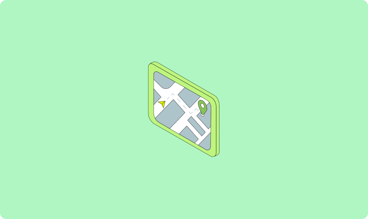
獲取用戶的地理位置信息是獲取當前天氣數據的第一步。通過使用瀏覽器內置的地理位置API,我們可以輕松獲取用戶的經緯度數據。
現代瀏覽器通常支持navigator.geolocation.getCurrentPosition方法來獲取用戶的地理位置。這個方法可以返回用戶的經緯度信息,并允許開發者根據這些信息進行進一步的操作。
const lng = ref(0);  // 經度
const lat = ref(0);  // 緯度

function getLocation() {
  if (navigator.geolocation) {
    navigator.geolocation.getCurrentPosition(
        (position) => {
          console.log("緯度:", position.coords.latitude);
          console.log("經度:", position.coords.longitude);
          lat.value = position.coords.latitude;
          lng.value = position.coords.longitude;
        },
        (error) => {
          console.error("獲取地理位置失敗:", error);
        },
        {
          enableHighAccuracy: true,
          timeout: 10000,
          maximumAge: 0,
        },
    );
  } else {
    console.error("瀏覽器不支持地理位置定位");
  }
}

getLocation();
在執行這段代碼時,瀏覽器會請求用戶的許可來訪問其位置信息。一旦獲得許可,程序便能夠成功獲取并顯示用戶的經緯度數據。
獲取經緯度后,下一步是將其轉換為更便于理解的物理地址。為此,我們可以使用高德地圖的geocoder API。
高德地圖API提供了一種通過經緯度獲取詳細地址信息的方法,包括省份、城市和區縣等。
const apiKey = '你的密鑰';
const longitude = 118.790804;
const latitude = 32.027675;
const location = ${longitude},${latitude};

async function getLocationByCoordinates(latitude: number, longitude: number): Promise {
  try {
    const response = await fetch(https://restapi.amap.com/v3/geocode/regeo?key=${apiKey}&location=${location});
    const data = await response.json();
    if (data.status === '1') {
      const citycode = data.regeocode.addressComponent.adcode;
      return citycode;
    } else {
      return '無法獲取地址信息';
    }
  } catch (error) {
    console.error('獲取地址信息失敗', error);
    return '獲取地址信息失敗';
  }
}

getLocationByCoordinates(longitude, latitude)
    .then(citycode => console.log(城市編碼:${citycode}))
    .catch(error => console.error(error));
通過此API,我們可以將經緯度轉換為具體的城市編碼,為下一步的天氣數據獲取奠定基礎。
獲取城市編碼后,我們便可以使用天氣API來獲取當前的天氣信息。
有多種API可以提供天氣數據,如和風天氣API和高德天氣API。這里我們使用高德天氣API作為示例。
async function getWeatherData(adcode: string) {
  try {
    const response = await axios.get(https://restapi.amap.com/v3/weather/weatherInfo?key=${apiKey}&city=${adcode});
    const data = response.data;
    if (data.status === '1') {
      const weatherData = data.lives[0];
      console.log(城市:${weatherData.city});
      console.log(天氣:${weatherData.weather});
      console.log(溫度:${weatherData.temperature});
      console.log(風向:${weatherData.winddirection});
      console.log(風力:${weatherData.windpower});
      return weatherData;
    } else {
      return '無法獲取天氣信息';
    }
  } catch (error) {
    console.error('獲取天氣信息失敗', error);
    return '獲取天氣信息失敗';
  }
}

getWeatherData('你獲取的城市編碼').then(weatherData => {
  console.log(weatherData);
}).catch(error => {
  console.error('獲取天氣信息失敗', error);
});獲取到天氣數據后,我們可以將其展示在頁面中,以供用戶查看。
       城市:{{ weatherData.city }}
       天氣:{{ weatherData.weather }}
       溫度:{{ weatherData.temperature }}℃
       風向:{{ weatherData.winddirection }}
       風力:{{ weatherData.windpower }}級


       正在獲取天氣信息...
以上代碼展示了如何將天氣信息呈現在網頁上。用戶可以看到當前城市的天氣狀況、溫度、風力等級等信息。
在展示天氣信息時,合理使用圖片鏈接可以增強用戶體驗。例如,可以根據天氣狀況顯示相應的天氣圖標。
在顯示天氣的同時,可以使用天氣圖標來增強視覺效果。例如:

這種方式可以讓用戶在查看天氣信息時更加直觀地了解當前的天氣狀況。
對于Android開發者而言,集成天氣信息也是一個常見需求。簡單的天氣獲取工具可以幫助開發者快速實現這一功能。
Android開發者可以使用現有的天氣API工具包,將其依賴添加到項目中,然后調用其方法來獲取天氣數據。
DLSimpleWeatherUtils.init(getApplicationContext());通過調用工具包中的方法,我們可以輕松獲取當前的天氣信息。
DLSimpleWeatherUtils.checkWeather(latitude, longitude, DLCoordinateCode.CODE_WGS84, onGetWeatherListener);這種方法提供了一種簡便的方式來獲取和展示天氣數據,適合快速開發需求。
問:如何提高獲取地理位置的精確度?
getCurrentPosition時設置enableHighAccuracy為true,以提高位置信息的精確度。問:如果無法獲取天氣信息,應該如何處理?
問:如何確保獲取的天氣信息是最新的?
問:在展示天氣信息時,如何結合使用圖標?
問:Android平臺如何快速集成天氣信息?
通過本文的介紹和代碼示例,希望您能夠更好地理解和實現當前天氣信息的獲取和展示。同時,通過FAQ部分的解答,您可以解決可能遇到的常見問題。